
Navigate the asset.
Not the spreadsheet.
Twinsity loads your full-resolution photogrammetric 3D model directly in the browser, no specialist software, no downloads, no compromises on detail.
- Full-resolution 3D models: no decimated meshes or detail loss
- Click any point to view the corresponding drone image
- Measure and record observations directly on the model
- Multi-user access: engineers and clients work simultaneously
- Lasting inspection record: revisit each inspection as the asset changes over time

Record inspections the way your team works
Keep the form your team already knows. Just stop printing it.
Most teams already have a paper form or a set of questions they work through on site. The Observation Profile Builder lets you recreate that in Twinsity, so moving from paper to digital feels familiar from day one. Every observation is captured by point, line or area on the 3D model and classified with an Observation Class and its Form, the questions that matter for that type.
- Recreate the forms and checklists your team already uses on site
- Mark observations by point, line or area, directly on the model
- Classify with an Observation Class and complete its Form, the fields you decide matter
- Build Observation Profiles around your own way of working
- Consistent, comparable records across every project and inspector
Custom Observation Profiles come with Pro and Enterprise. Every plan includes the default profile.

Help your team
cover more ground
A single drone survey generates thousands of images. Twinsity processes that volume systematically, surfacing potential defects for your inspection team to review, classify, and sign off. Your inspectors stay in control. The platform handles the data.
- Every image in the dataset is processed, no manual triage, nothing skipped
- Potential defects surfaced for inspector review across concrete, steel, masonry, and composite surfaces
- Inspector reviews, classifies, and signs off each observation, full human oversight throughout
- Duplicate consolidation: same damage appearing in multiple images presented once
- Every inspection stays on record, so past observations remain available as the asset changes over time

Reports your clients
can actually use
Generate audit-ready inspection reports directly from your Twinsity project. Every observation timestamped, georeferenced, and documented.
- Complete reports in minutes, not days
- Share a link, clients view the full 3D model in their browser
- Every defect pinpointed to its exact location
- Full audit trail: tamper-evident inspection records
- Section views to frame the report around what matters
“Just upload the data, share the link, and stakeholders are ready to explore high-resolution data directly through their browsers.”
Larry Laxdal · PCL Construction
Any large-scale asset.
Any industry.
If you can capture it with a drone, you can manage it in Twinsity. The platform handles any complex physical asset where high-resolution visual inspection data needs to be stored, analysed, and shared.

Bridges, tunnels, viaducts, and retaining walls. Full-resolution 3D capture with AI-assisted crack and spalling detection.

High-rise, historical, and commercial buildings. Drone-based capture reduces the need for scaffolding and speeds up inspection and documentation.

Transmission pylons, substations, telecom towers, and power lines. Detailed 3D models of complex lattice structures with component-level observation.

Refineries, storage tanks, and processing facilities. High-resolution capture of complex industrial structures with AI-assisted corrosion detection.
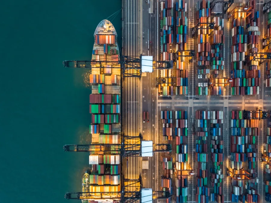
Ports, vessels, and offshore structures. High-resolution capture for structural condition assessment in demanding marine environments.
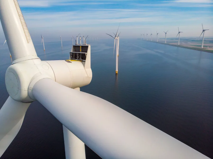
Wind turbines, solar farms, and hydro dams. High-resolution capture and structural inspection with systematic observation across large sites.
From drone flight
to finished report
Four steps from raw data to defensible inspection record.
Works with your existing 3D workflow
See Twinsity on
your type of asset
Book a 45-minute demo and we’ll show you the platform on a real infrastructure project that matches your use case.