How Vejle Municipality inspects its own building roofs with Twinsity
Vejle Municipality’s GIS department found a smarter way to support the roof inspections on the buildings it owns, turning drone flights into interactive 3D models the inspectors work from directly.

The starting point
The GIS department sits in Vejle Municipality’s technical department, where its focus is 3D data and supporting the rest of the organisation. Poul-Henrik Oxlund Skræ, a 3D Specialist in the team, is also a drone pilot.
The story began with a single roof inspection. Poul-Henrik was helping the department that manages the municipality’s buildings by flying a roof, and when he handed over the images he saw how the inspectors worked with them afterwards. They went through the photos one by one, manually marking the broken roof tiles and writing down where each one was.
Having worked with photogrammetry on other projects, he was sure there was a smarter way. The one condition was that it could not depend on the inspection team learning photogrammetry software themselves. So he looked for a solution that would turn the drone data into something they could simply use, and found Twinsity.
How it works now
The workflow is straightforward. The buildings team orders an inspection, Poul-Henrik flies the drone and processes the data, and as soon as it is ready he sends them a link. They open the 3D model in the browser, find the tiles that need attention, and produce their report.
Once you know the workflow, he says, uploading and handing over a project is simple, and it makes ordering an inspection easy for the other department. The people doing the actual inspection never touch the photogrammetry software. They work with the finished model.
The project that proved it
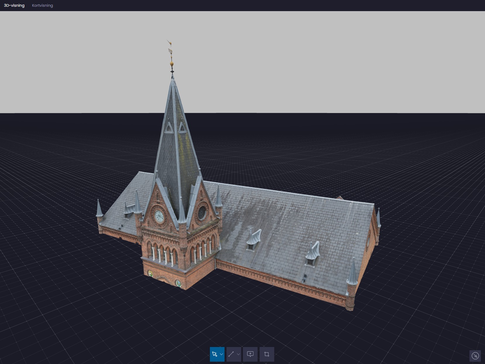
The first test was the department’s own office building, an older building with a lot of different roof details that would have been hard to inspect properly without an expensive crane over several days. With Twinsity the team got a clear overview of the whole roof, located the tiles that needed attention, and produced a report from the model instead.
It was a clear success, and it left the inspectors wanting to use the same approach on more buildings. Working from drones gives a much quicker turnaround than manual inspection, and because good photogrammetry needs thorough image coverage, the inspectors also get high quality images of every part of the roof as part of the process. Complex roof areas that were difficult to reach before are now straightforward to inspect.
Empowering inspectors with intuitive drone-powered 3D digital twins, turning complex inspections into simple, efficient workflows.Poul-Henrik Oxlund Skræ, 3D Specialist, GIS Department, Vejle Municipality